|
Marco Island, Florida
Fishing - Marco Island Florida area Map
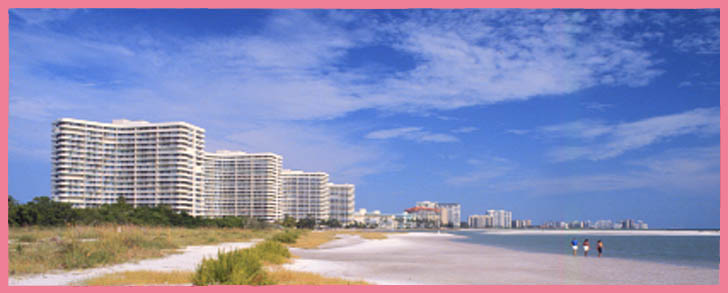
 Marco Island is a bustling, full-service resort community located at the northern edge of the coastal wilderness known as the 10,000 Islands. With Rookery Bay Nature Preserve to the north and 10,000 Islands National Wildlife Preserve, Collier-Seminole State Park and Everglades National Park to the south, Marco Island is flanked by nearly 100 miles of undeveloped islands, bays, and estuaries which never will be "developed." Accordingly,
the area's backcountry waters are relatively free from pollution and are ideal nursery grounds for
many of our targeted game fish and their prey (bait fish, shrimp, crabs, etc). With such a prolific source
of food, it is no wonder that our fish populations are diverse and healthy.
For more details on our fishing areas, please refer to NOAA Chart #11430 for the backcountry waters and
ISS Chart #09F for offshore hotspots. The latter is particularly helpful in locating the many
dozens of wrecks, artificial reefs, and fish havens that are within convenient cruising distances
from Marco Island. For continuation of this map into Naples, Click Here.
During the past 10 to 20 years, inshore commercial netting had negatively impacted our local fishing.
In 1995, however, Florida joined an ever-growing list of states to ban the use of entangling nets near shore. Already there has been a noticeable improvement in the fish populations, and the outlook
for continuing improvement is excellent.
|


